Success Stories
Carson River Watershed Discovery Project
The Problem:
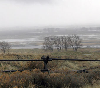
Within the Federal Emergency Management Agency’s (FEMA) Risk Mapping, Assessment, and Planning (Risk MAP) Program, the Discovery process is intended to initiate watershed-wide discussions about increasing resilience to flooding. The goal of Discovery is to determine which areas within a watershed require mapping, risk assessment, or mitigation planning assistance.
The Solution:
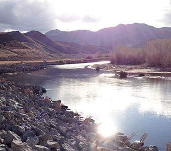
R.O. Anderson coordinated with stakeholders from the six counties within the Carson River watershed as well as additional stakeholders including the Nevada Division of Emergency Management, Nevada Division of Water Resources, National Oceanic and Atmospheric Administration (NOAA), Truckee Carson Irrigation District, U.S. Army Corps of Engineers, U.S. Bureau of Reclamation, and U.S. Geological Survey, and FEMA to collect data and information regarding flood issues, flood risk, and flood mitigation capabilities within the Carson River watershed.
R.O. Anderson and the Carson Water Subconservancy District initiated two Discovery Meetings to engage the stakeholders in the review and validation of available flood data, as well as to discuss flood history, catalog areas at risk for flood loss, examine development plans, review the adequacy of existing hazard data, assess mapping needs, and discuss community activities that relate to flood risk and solutions for reducing flood risk. R.O. Anderson inventoried and analyzed the data including hazard mitigation plans, National Flood Insurance Program mapping needs, socio-economic data, flood control structures, community assistance visits, regulatory mapping, ongoing and completed watershed projects, and future project needs.
The Results:
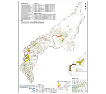
The information gathered as part of the Discovery process was summarized into the Carson River Watershed Discovery Report. This task included the preparation of base GIS mapping to visually display the information received onto Discovery Maps. The Discovery Report also included a prioritized list of needed mapping, risk assessment, and mitigation projects. The flood risk information contained in the Discovery Report will be used to enhance hazard mitigation plans, make informed decisions to improve resilience after flooding, protect beneficial functions of floodplains, and raise awareness about local flood risks. Additionally, as funding becomes available through FEMA, the prioritized projects will be used as resource for selection of future projects.
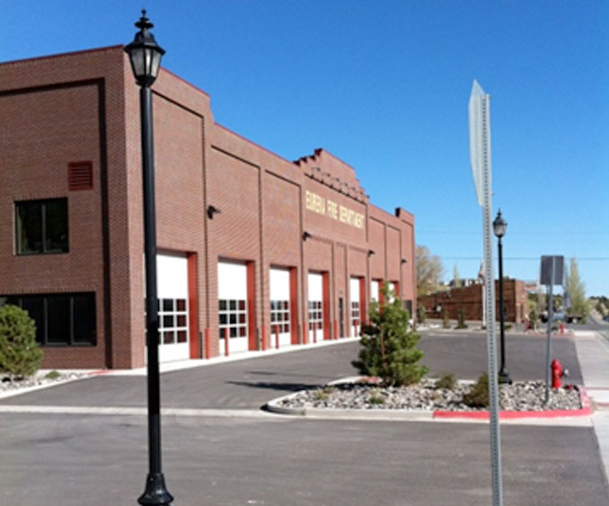
White Pine County and Eureka County Multi-Jurisdictional Hazard Mitigation Plan

The Problem:
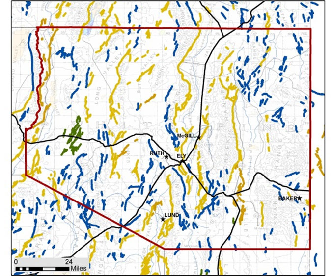
White Pine County received a FEMA Pre-Disaster Mitigation Grant for preparation of a multi-jurisdictional hazard mitigation plan. Completion of the plan would make participating jurisdictions eligible for additional funding through FEMA’s Pre-Disaster Mitigation (PDM) grant program and Hazard Mitigation Grant Program (HMGP).
Having limited personnel and resources, the County was seeking an outside consultant local to Nevada to help with the process of creating the hazard mitigation plan.
The Solution:
R.O. Anderson was select to prepare the hazard mitigation plan. We assisted the counties in the formation of hazard mitigation planning teams, one in White Pine County and one in Eureka County. The team members included the emergency managers, members of the local fire department and law enforcement, public works employees, school district employees, and others charged with emergency response. R.O. Anderson led the teams through a series of five public meetings to obtain and review the information necessary for the completion of the hazard mitigation plan. In addition to the local hazard mitigation planning team meetings which were open to the public, we assisted the counties with publication of a press release and a public survey.
During the compilation of the plan, R.O. Anderson was responsible for researching, collecting and reviewing technical data pertaining to identified hazards, hazard mapping of critical facilities using GIS, analysis of the counties’ vulnerabilities to each specific hazard; development of the plan’s goals and proposed mitigation projects, and development of a maintenance plan.
The Results:
In May of 2014, the final draft plan was completed and approved by the Planning Committee. The plan has been conditionally approved by FEMA and is currently awaiting adoption by the local entities.
Caliente Youth Center Bridge Flood Mitigation Project

The Problem:
A flood event in January 2005 jeopardized the safety of residents and staff by preventing CYC relief staff and emergency vehicle access to the CYC facility for evacuation of residents and staff and by creating the potential for flooding of adjacent CYC structures. Flows emanating from the Clover Creek watershed exceeded culvert capacity and overtopped the roadway to a depth of three to five feet. Concern for the rising floodwaters resulted in an air evacuation of the residing children and CYC staff using Blackhawk helicopters dispatched from Nellis Air Force Base.
The Solution:
On behalf of the Nevada State Public Works Division, we prepared the preliminary engineering design, preliminary hydraulic analysis, benefit/cost analysis and detailed applications for submittal to Nevada Department of Emergency Management and FEMA for the Caliente Youth Center Bridge Flood Mitigation Project. Additionally, we coordinated with Federal, State and local project partners including Caliente Youth Center, Natural Resources Conservation Service, U.S. Fish and Wildlife Service, Lincoln County, City of Caliente, Lincoln County Power District #1 and secured both in-kind and monetary matches.
The Results:
The State Public Works Division was notified that the grant application was successful in the FEMA national competitive process. R.O. Anderson was also engaged to prepare the NEPA document for FEMA’s oversight on behalf of the State Public Works Board. This NEPA document has been approved and the project has now been funded for design and construction of the estimated $2,500,000 in flood mitigation improvements.
State Route 88 Flood Mitigation Project

The Problem:
The highway embankment at State Route 88 is elevated above the surrounding floodplain by several feet. During normal runoff events, such as the spring snowmelt period, flows in East Fork Carson River and Cottonwood Slough pass under the existing bridges. However, during high hydrologic events, such as the Flood of 1997, the combination of elevated roadway and insufficient size of the bridge openings result in increased flooding of the area upstream from the State Route 88 crossings. This causes the potential for overtopping State Route 88 with the resulting loss of access to the remaining portions of the community. During the 1997 event, erosion from these flows caused severe damage to the bridge abutments resulting in the road being closed for 9 days.
The Solution:
R.O. Anderson prepared the preliminary engineering design, preliminary hydraulic analysis, benefit/cost analysis and detailed applications for submittal to Nevada Department of Emergency Management and FEMA for the State Route 88 Flood Mitigation Project. Additionally, we coordinated with State and local project partners including Douglas County, Nevada Department of Transportation, Town of Minden, Carson Water Subconservancy District, East Fork Fire Protection District and secured both in-kind and monetary matches.
The Results:
Upon review by the Nevada Hazard Mitigation Planning Committee, the State Route 88 Flood Mitigation Project was ranked #1 out of 8 projects submitted for the State of Nevada. Douglas County was originally notified that the application was successful in the FEMA national competitive process. However, due to finalization of the FY2011 federal budget, Douglas County was notified that funding was not available for this project. The project was again submitted in 2012 and did not make the cut for the limited funding. The project was recently “Selected for Further Review” for FEMA’s UHMA 2014 funding cycle.
